
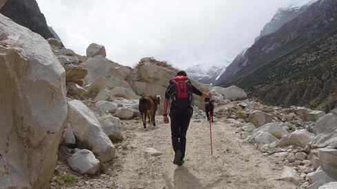
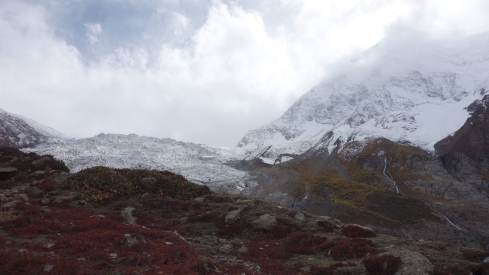
On a cloudy day, we made a very nice hike up through the Diran valley towards Diran Peak (7266 m). The valley is quite narrow and on a clear day there must be fantastic views to all sides – but even on a cloudy day it is a really nice hike. Have a look to the pictures from the glacier at the top of the valley (towards the end) and finally the views to the “lady finger”, Hunza Peak and Ultar Sar as we walked back down again. But first the beginning…
The villagers have fields on a high plateau up the valley. Gradually the fields are falling into the river below. Everything is steep and crumbling and falling down here.

Sharp ridges of the valley sides.
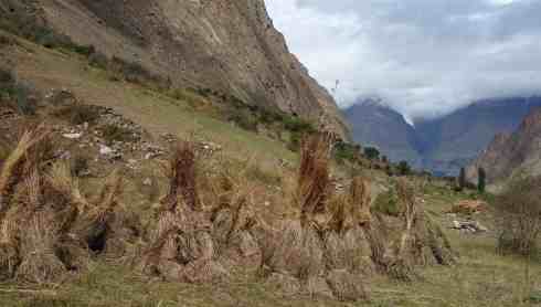
It was harvest time – potatoes, corn and hay for the animals.


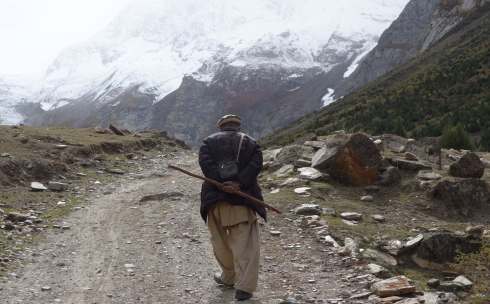
First this elderly gentleman invited us for tea – when we politely declined he followed us all the way up the valley.

The rocks of the valley were full of minerals – lots of different colours. Later we met some local “miners” and found out that there is a small mine with precious stones nearby. A dangerous job, we could hear the blasts from the dynamite ringing through the valley.


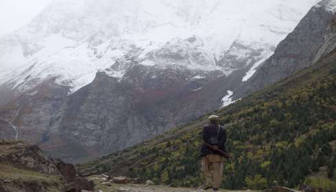


Almost there at the foot of the Silkiang Glacier. Colours were changing with the altitude.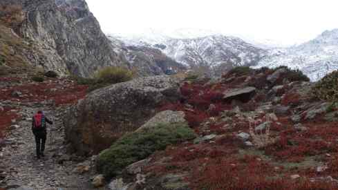

Miner’s motorcycles. The guy we met had just been up there (at approximately 4000 m altitude, already covered in fresh snow) for 25 days.
Coming down the valley, the famous “lady finger” revealed herself across the valley. Just to the right of the rock finger is the Hunza Peak (6270 m).
At the bottom of the picture (below) you can see the villages of Baltit/Karimabad. Just above the villages there is the barren ridge of the Victoria Monument where we went on the first day to enjoy the view – and in the valley behind you see the black tongue of the Ultar Glacier coming down – it is grading into white ice further up – look how steep that glacier is! And finally, towering above it all, the Ultar Sar at 7388 m. From the village to the peak there is an elevation difference of 5000 m! It is the scale and the steepness of it all that is just overwhelming!!! 
The lady finger….. 

Back to the first page for an overview
Go back to Necropolis of Makli and Shah Jahan Mosque
Go to the drive from Islamabad to Gilgit
Hikes to Rakaposhi Base Camp and Rakaposhi View Point
