
One day we drove up the Karakoram Highway all the way to the Chinese border at the Khunjerab Pass. It is a drive of around 180 km from Hunza to the border. The Khunjerab Pass border is at 4693 m altitude and is apparently the highest paved international border crossing in the world.
First a nice view back down the valley towards Hunza. There is often quite a sharp green line on the mountain side showing you where the man-made irrigation starts – and there is quite a difference between the irrigated vs non-irrigated side of the river in this picture.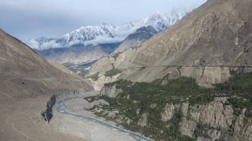
Hunza River 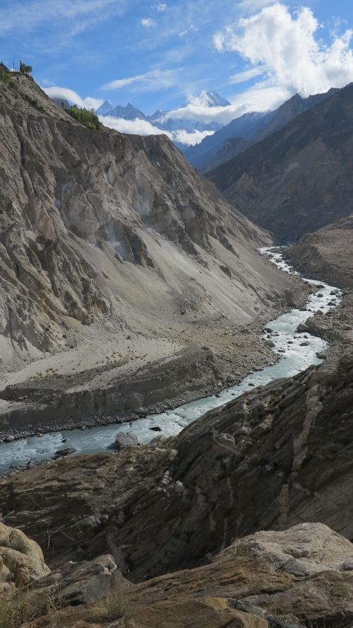
Pieces of the old silk road can be admired along the modern Karakoram Highway. The smaller roads going up the valleys are constructed in a similar fashion, hanging on the steep mountain sides.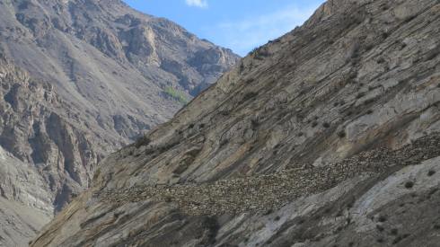
The Attabad Lake was created in 2010 as a result of a massive landslide which blocked the flow of the river and formed this 20 km long deep lake. Part of the Karakoram Highway was submerged and all transport had to go via small boats (see below) until the new highway had been constructed through 5 tunnels – 7 km tunnels in total. The new road was ready for use 5 years later, in 2015.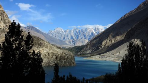
Boats used for transporting people and goods across the Attabad Lake from 2010 to 2015.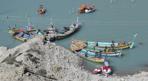
Soon after passing the Attabad Lake, we arrived at Passu village with this beautiful view to the famous Passu Cones (Tupopdan Peak, 6106 m).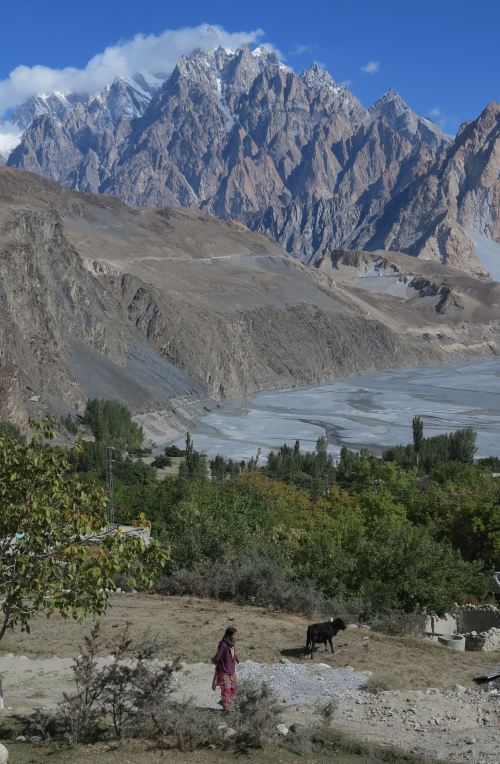
Deep blue sky above the Passu Cones. The Hunza River becomes broad and meandering north of Passu village.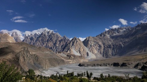
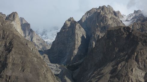
Superb views from Karakoram Highway!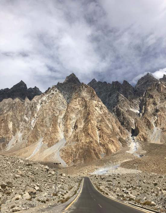

A fresh drizzle of snow enhances the contrast on the ruggy peaks.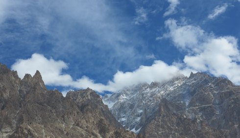
Continuing up the highway, lots of fresh apples for sale.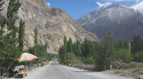
Picking up construction material from the river. 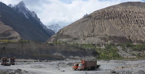
Weathered sediments. 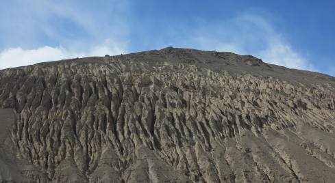
A couple of nice chapati for lunch in Sost. 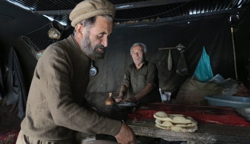
After the village of Sost, the valley gets narrower. 
The altitude of the road gradually gets higher, the air gets cooler and the colours change.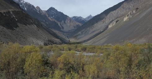
Always be prepared for surprises around the next bend of the road or inside the dark tunnels! It is the season for bringing down the animals from the mountains before the winter.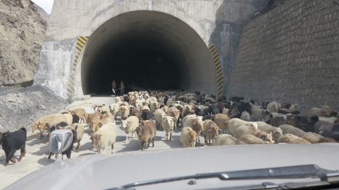
Beautiful goats!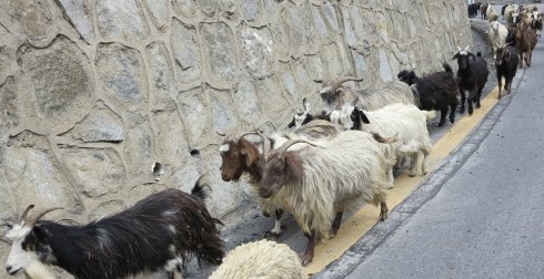
Fresh snow in the mountains, winter approaching the valleys.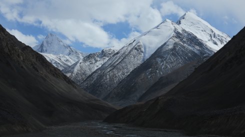
A large herd of yaks grazing on the opposite hillside – at ca 4000 m altitude.
Looking back down on the Karakoram Highway winding its way up through the valley.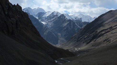
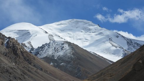
The last stretch of road before the Chinese border, the valley broadens and the colours are amazing and clear in the high altitude air.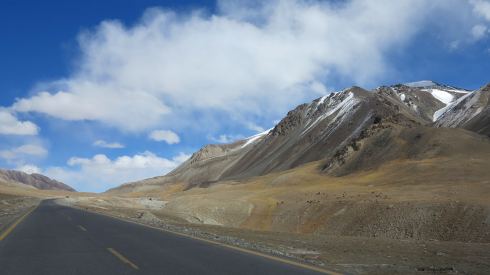
A small glacier coming down in the broad valley of the pass.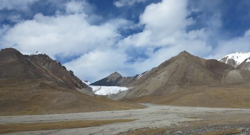
Chinese border post, Khunjerab Pass at 4693 m. 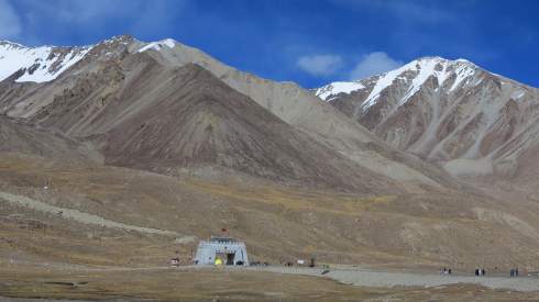
Pakistan border post, Khunjerab Pass at 4693 m.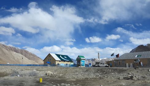
Driving back down again, Sost in late afternoon sunlight. 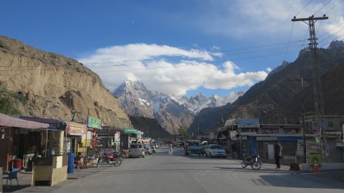
Back to the first page for an overview
Go back to the drive from Islamabad to Gilgit
Hikes to Rakaposhi Base Camp and Rakaposhi View Point
Day-trip to Khunjerab Pass & Pakistan-Chinese Border
